During the colonial period, firewood was a prime commodity. Used for heating homes and fueling production, an estimated 18,833,331 acres were cleared between 1700 and 1769, 7,566,666 of these acres for Iron Production alone. (Purvis, 10) This was especially evident in the Patapsco River Valley, where a large number of iron forge and furnace complexes had formed along the iron-rich clays in the stream banks converging on the Patapsco.
 |
| Section of Patapsco River Valley from "Map of Maryland showing distribution of Iron Ore" Maryland Geological Survey, 1909 |
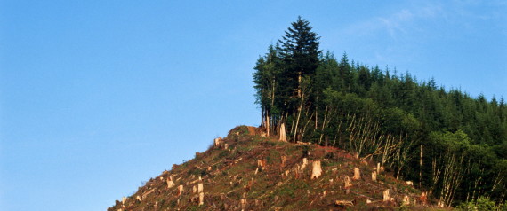 |
| Rex Ziak via Getty images, via Huffington Post "Deforestation: The Over-looked Climate Driver and What You Can Do About it." |
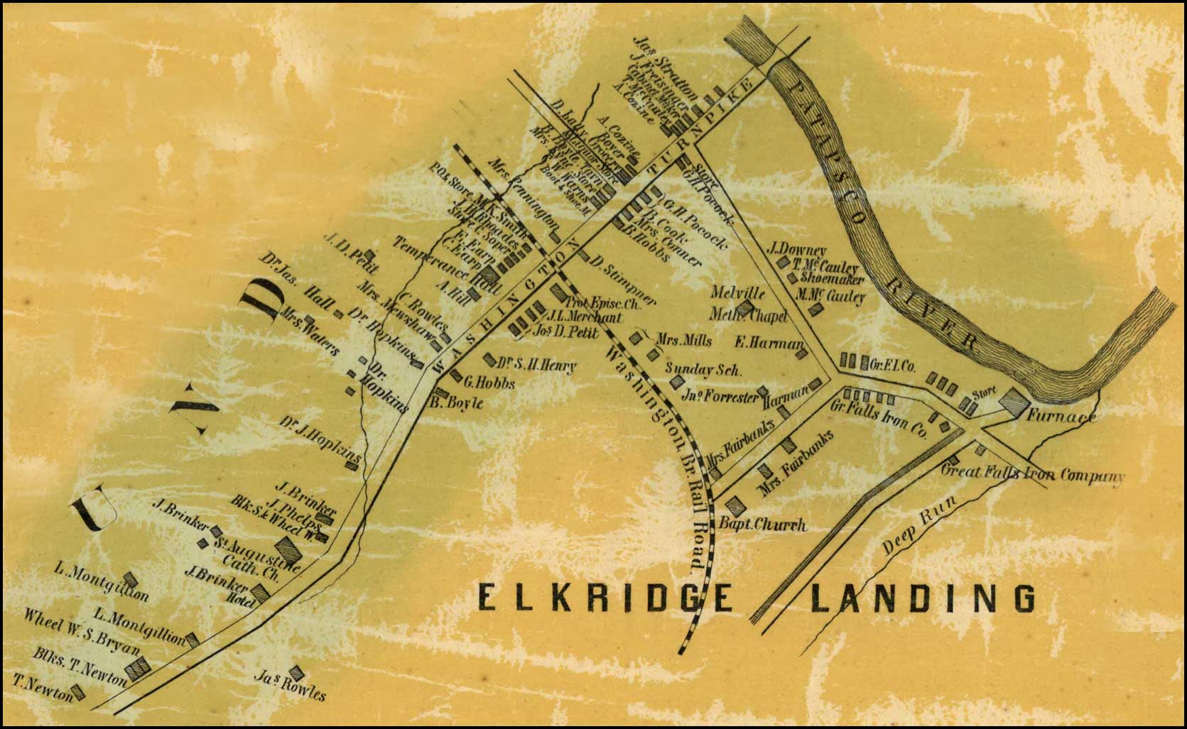 |
| Detail of Elkridge Landing from Simon J. Martenet, map of Howard County, 1860 |
The discharge and erosion progressively obstructed smaller waterways
with silt and sedimentation, causing smaller creeks to dry up completely and
larger streams and rivers to change course or slow in productive volume.
Silting
had become so severe in Maryland by 1753 that the Patapsco River was in
jeopardy of silting over and navigation to Elkridge Landing was extremely
difficult.
In an attempt to remedy this, Maryland General Assembly passed “An Act to prevent injuring the Navigation
to Baltimore-Town, and to the Inspecting House at Elk-Ridge Landing, on
Patapsco River,” stating that:
[due] to “opening and digging into the Banks of Patapsco River, for Iron
Stone, large Quantities of Earth and Sand are thrown and washed into the said
River, and navigable Branches thereof, by which Practice (if continued), the Channel
of the said River, and navigable Branches aforesaid, will, in a short Time, be
so filled up, that Vessels of any Burthen must be prevented from coming into
the best and most secure Harbours in the said River, and the Navigation thereof
greatly obstructed.” (MD
General Assembly, 1752-1754)
This act, limiting the
placement of earth, sand, or dirt,
below the high water on Patapsco appears to be a “lesson learned” from the
previous Acts of 1719
and 1736,
encouraging the production of iron milling within the providence.
 |
| Ellicott City Flood gauge and Historical Dates, Maryland Historic District.com, 2011 |
However,
even with this act, the damage had already begun. Even as late at 1910-1911 the
river silt and deforestation of the hilly terrain were of major concern. As described in the Maryland State Department of Forestry’s report for that year, the “steep
slopes have been cleared and are now washing badly” causing silting in the
river channel, and the river is no longer navigable to Elkridge Landing. (Maryland Board of Forestry, 27) While
of primary focus, river navigation is not the only concern brought on by
silting. Due to the increase sediment in the river and streams, the waterways
were unable to carry the same volume of water as before without overflowing their
banks. Soon, due to these environmental changes colonist faced a new problem:
Flooding.
Sources:
Archives of Maryland. Proceedings
and Acts of the General Assembly, 1752-1754. reproduced in William Hand Browne, Edward C. Papenfuse, et.
al. eds., Archives of Maryland, 215+ volumes, (Baltimore and Annapolis, Md.,
1883-), Volume 50, Page 374-375. http://msa.maryland.gov/megafile/msa/speccol/sc2900/sc2908/000001/000039/html/am39--486.html
Martenet, Simon J.. “Detail of Elkridge Landing” Map of Howard County, 1860. Library of Congress reproduced in The State of Maryland Presents: Beneath the underground: The flight to Freedom and Communities in Antebellum Maryland – An Archives of Maryland Electronic Publication. (Baltimore and Annapolis, Md., 1883-), MSA SC 1213-1-467. http://slavery.msa.maryland.gov/html/mapped_images/elkridgelanding.html
Maryland Board of Forestry. “Report of the State Board of Forestry for 1906 and 1907.” Baltimore, MD: State of Maryland, 1907.
Purvis, Thomas L.. Almanacs of American Life: Colonial America to1763. Edited by Richard Balkin. New York: Facts On File, Inc., 1999.
Sharp, Henry K. “”on the great fall of Patapsco River” A Case Study of Industry and Urbanism in Late-Colonial and Early-Republican Maryland.” PhD diss., University of Virgina, May 2010, 53.

No comments:
Post a Comment